Unusual Formations on the Banks of the Upper Missouri
Description
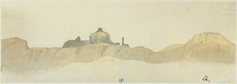
Maximilian identified sketch Q as having been made on July 25 below the mouth of the Musselshell River in an area of eroded clay hills below sandstone escarpments and strangely eroded cliffs. This portion of the Missouri is now inundated by the Fort Peck Reservoir.
Original German Title
None
Medium
watercolor over pencil on paper
Dimensions
2 5/8 x 7 3/4
Call No.
JAM.1986.49.179
Approximate Date of Creation
25th July 1833

